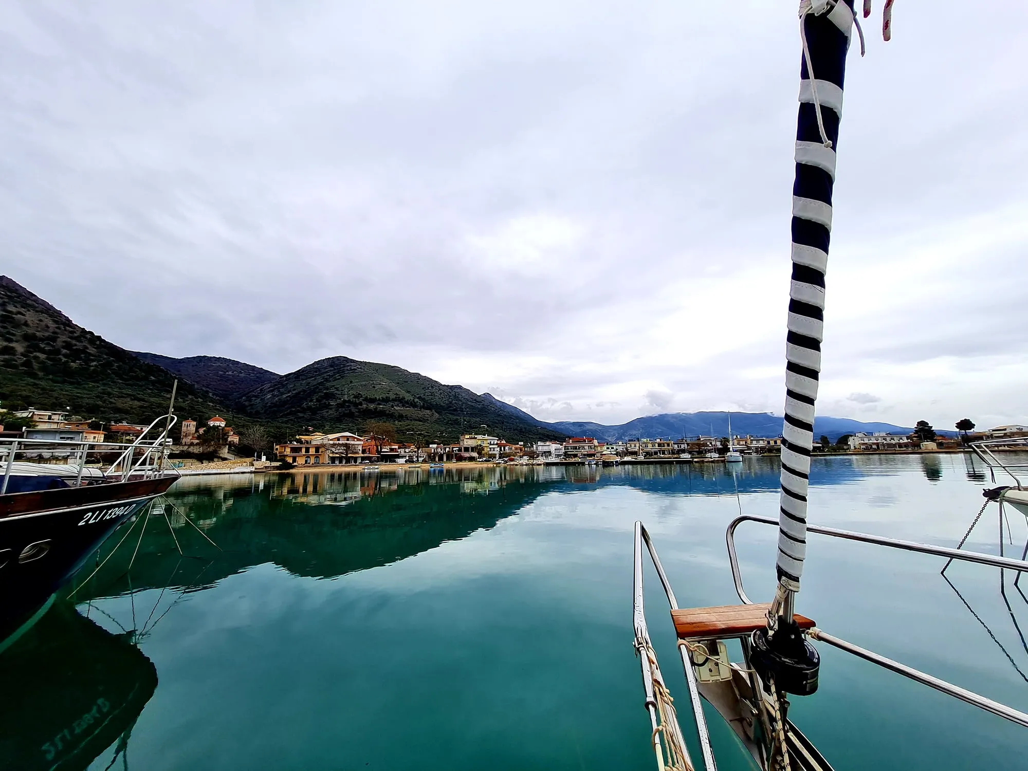
Kaş and Kekova are among the special areas whose natural beauty and historic shores are best seen from the sea. The submerged ruins along Kekova Island and the area around Kaleköy (Simena) make the view from the water something special.
Sailing here from Fethiye means longer passage days than the Fethiye–Göcek route. Plan around the weather and the length of your week.
Kaş
36°12′N 29°38′E
Kekova
36°11′N 29°52′E
Area
Kaş-Kekova SEPA
Planning the Route
Set daily distances and intermediate stops from Fethiye.
Check wind and wave forecasts ahead of days along the open coast.
Confirm harbour or marina options in Kaş in advance.
Keep a spare day for the return in case the weather changes.
Protected-Area and Sunken City Rules
Kaş and Kekova lie within a Special Environmental Protection Area. Swimming, diving and anchoring may be restricted where the submerged ruins are.
When planning, take into account the rules for protected areas, permitted activities and current local regulations.
Anchoring
The bays around Kekova are mostly sheltered, but the seabed, depth and wind direction differ from bay to bay. Check that anchoring is permitted and that the boat has enough swinging room.
What should I consider when planning a Kaş and Kekova route?
Passage distance, weather, anchorages, protected areas and local rules. Some areas restrict activities or anchoring; check the current regulations.
Can you swim over the sunken city at Kekova?
Swimming and diving are restricted where the submerged ruins are. Check the current rules before sailing.
Can you sail from Fethiye to Kekova and back in a week?
It depends on the boat's speed, the weather and the stops. It can be possible with a plan that accepts longer passage days; the final plan should follow the latest forecast.